From the early cartographers who, with the aid of the stars, mapped the world around them to the mobile apps that beamed satellite images to the palm of our hands, humans have been drawn to visualising what their eyes could not see. And though we’ve innovated over time, the problem has always been the same: our maps are never detailed enough. Swedish company Mapillary is out to fix this problem with computer vision technology and a network of collaborators.
The Problem: Imprecise and Outdated Maps
Why is it important that maps are accurate? Is it just for convenience? Do we lose time and money by using outdated material? How much money can a wrong turn cost a logistics company? Though the answer may appear minor, the data shows that just a few wrong turns can cost companies millions.
Mapillary’s 2020 Mapping in Logistics Report shows that inaccurate maps pose a financial threat. According to the report, 78% of drivers have to drive more than eight extra kilometres a day because of inaccuracies, resulting in $611 million wasted annually on extra gas. Seven million minutes are also lost in a year just by drivers searching for the right drop-off location. It also becomes more difficult with inefficient maps to find the right delivery window. The report shows that 96% of drivers are forced to waste anywhere between 15 to 60 minutes a day in finding the right window.

Inefficient maps are not just a problem for logistics. As cities become “smarter,” the need for digital maps and improved spatial data infrastructures increase. Along with the above-mentioned costs for the logistics industry, city planning and emergency response sectors also require updated and more accurate maps. Such maps can be used to deliver aid and assess disaster damage, as well as help city planners form better solutions.
The Solution: Computer Vision Technology and Network of Collaborators
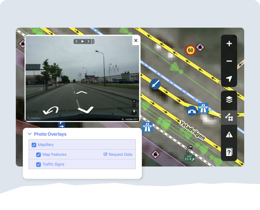
Founded in 2013 in Malmö, Sweden, Mapillary is motivated to create a map of images containing every place on Earth. In order to achieve that, the company created a collaborative street-level imagery platform that lets anyone access the data they need for making better maps. From smartphones to action cams, street-level imagery from any kind of camera is useable. This helps Mapillary achieve a level of detail that is incomparable with satellite images.

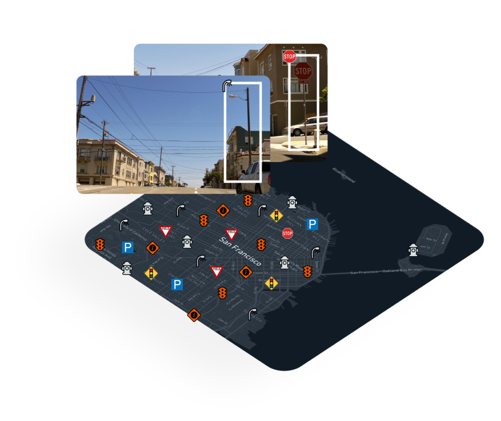
After capturing the street-level images, network members can upload their pictures to Mapillary’s platform. Within this platform, computer vision technology analyzes the images, the system then detects features like road markings and traffic signs and this ultimately creates reliable and up-to-date information that can be utilized for a variety of purposes.
Outcomes: Better Maps, Smart Cities
Since 2013, Mapillary has seen the need for increasingly accurate street imagery data. This has, in turn, forced the company to expand its operations. Currently, Mapillary has two new offices in New York City and in Graz in Austria. While its locations are multiplying, its community is also growing rapidly, with members in 190 countries that have contributed hundreds of millions of images to date.
The data the Mapillary community generates and the computer vision technology analyzes is helpful in various fields. First, it is used to validate existing maps. Through the data supplied by Mapillary, developers can update and improve navigation apps. This creates better navigation and enhances the user experience. With better navigation, it becomes easier to solve problems in logistics.
The company also created the “Mapillary Marketplace.” As a demand-driven marketplace, which connects supply and demand from cities and map makers alike, this platform allows instant map data generation for the USA and Europe. Anyone with a desire for updated and more accurate information stands to gain from this network. Mapillary has thus created the first scalable solution for on-demand map data generation. This marketplace makes city planning and developments in smart cities easier.

Insights for Research into Self-Driving Cars
Another area that Mapillary’s database contributes to is the field of self-driving cars. The Traffic Sign Data Set, created by Mapillary, which draws from hundreds of thousands of images, is being used to teach autonomous cars to better understand traffic signals. Working together with research teams in Toyota and Volkswagen, Mapillary aims to further develop more accessible and inexpensive self-driving cars. The Toyota Research Institute emphasizes that Mapillary data is crucial for them in increasing accuracy across the board.
With its response to the ever-increasing demand for accurate and up-to-date maps, Mapillary is anticipating a future filled with an ever-increasing volume of network contributors.
Sources: Mapillary Mapping in Logistics Report, Mapillary and the Toyota Research Institute


